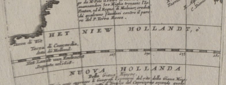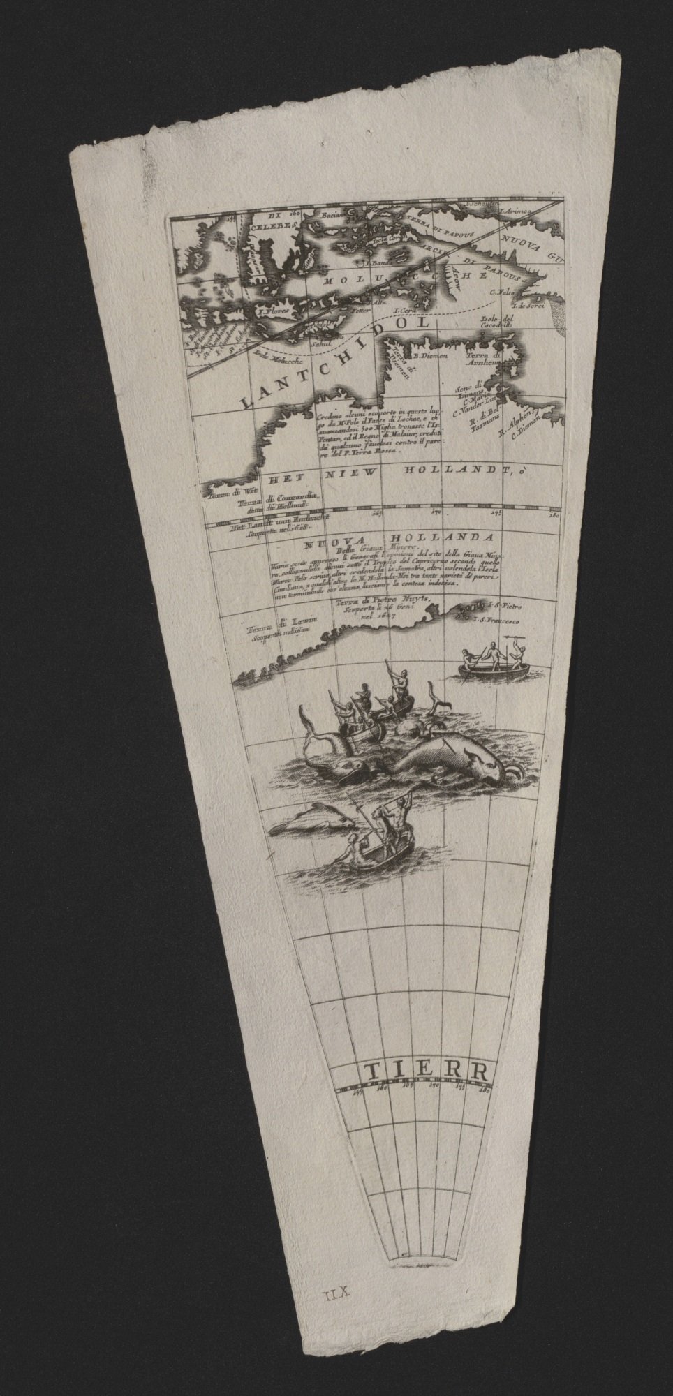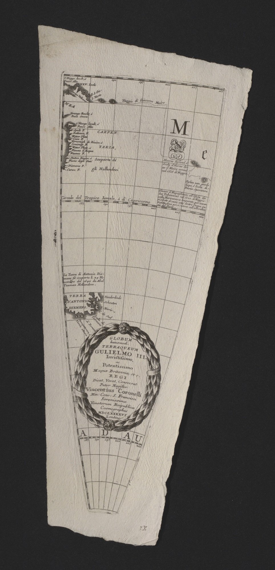
The Library has recently enhanced its extensive map collection with the acquisition of two 17th century globe segments by Vincenzo Coronelli.
Explore the Coronelli globe gores in Trove
Born in 1650, Coronelli lived in Venice and was a renowned map maker and publisher. Coronelli was multi-talented: a cosmographer who founded the first geographical society, famed for a commission for Louis XIV King of France and a member of the Franciscan Order of the Catholic Church. Coronelli’s technique for making a globe in 1696 was to engrave copper plates and print them onto sheets of paper. By printing the triangular shaped segments of mapping, known as gores, these shapes could be joined and fitted to a three-dimensional round surface to make a globe.

One of the pleasures of looking at early cartography is the merging of the known with the unknown; where the map makers' knowledge ends, their imagination fills the gaps. When we consider the Coronelli mapping of the southern oceans in 1696, these knowledge gaps are revealed with the incomplete drawing of the coastlines. Coronelli depicts the Dutch mapping of the Australian continent after Abel Tasman's mapping of the 1640s.
Map illustrations of this time period can evoke the phrase ‘here be monsters’, recalling a world where navigation was filled with great risk, of shipwreck or being attacked by strange sea monsters, or both. These two Coronelli globe gores reveal that this time had already passed. In the foreground, whales are being hunted down with small boats and harpoons.

The two globe gores are good examples illustrating that, at this time, the unknown was reducing in size due to the increase in strategic and commercial rivalry of European nations to obtain wealth and commodities. These rivalries to be the first also involved more risk taking, noticeable in the drawings the humans are deliberately engaging with the sea monsters by engaging in whale hunting.
You can see our early maps collections online through our catalogue. Exact replicas of Coronelli globes are on display in the Library’s Main Reading Room.