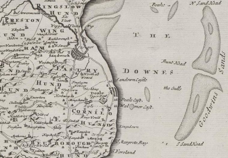
Detail from Morden, Robert. and Gibson, Edmund. and Swall, Abel. and Collins, F. and Camden, William. and A. and J. Churchill (Booksellers : London, England). Kent [cartographic material] / by Robt. Morden 1695
The Library has a large collection of early maps and atlases of the British Isles. Maps are often listed under the name of a county, shire or province. County maps provide place names, boundaries, topographical, demographic, road and rail information, larger estates and other features. Some atlases include gazetteers giving details of places listed.
1. Search the Library’s catalogue
Enter the relevant county name eg “Nottinghamshire” and select “Map” from the dropdown menu for format. Date sort the results (oldest to newest). To search for atlases of the British Isles, enter the name of the country (England or Wales etc) AND atlas, and select “Map” from the dropdown menu for format.
Only a few atlases have been digitised, however most maps on single sheets before 1900 have been digitised and can be zoomed in on for details.
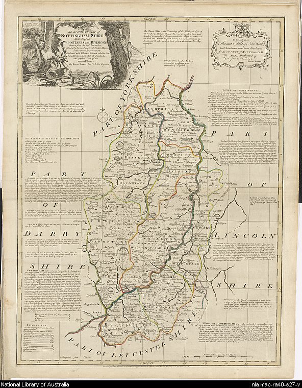
The large English atlas, or, A new set of maps of all the counties in England and Wales (1785), An accurate map of Nottingham Shire, MAP Ra 40 Plate 28.
2. Request to view the map at the Library
If the map or atlas is not digitised, select "Request" from the top of the catalogue record and "Select" the item you wish brought to the Reading Rooms.

