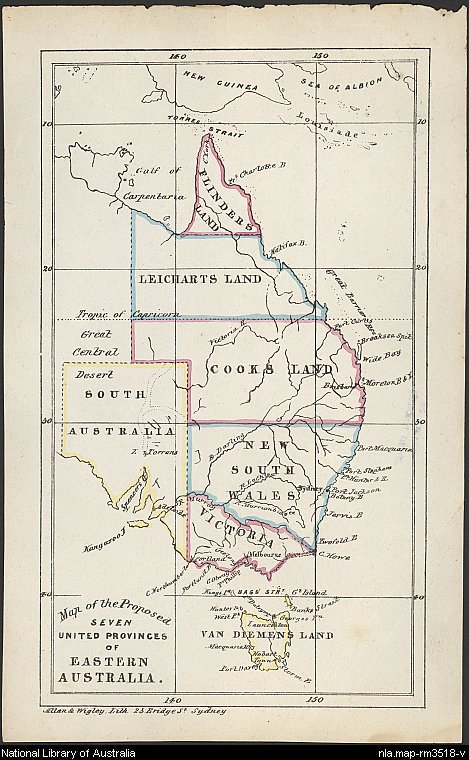
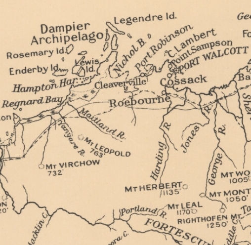
Our collection of maps and atlases contains some interesting items which can help provide context and background to Federation. Much of the maps collection is currently uncatalogued, so readers are advised to contact staff via our Ask a Librarian service for assistance in identifying and requesting material. Digitisation of our collection is ongoing.

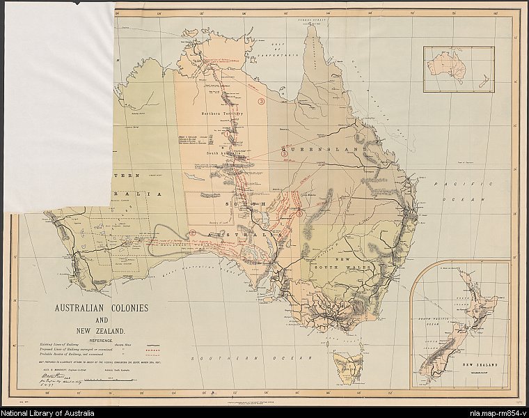
New South Wales. Government Printing Office, Australian colonies and New Zealand, 1897,nla.obj-231319653
A map prepared for the Federal Convention of 1897 when the inclusion of New Zealand into the new Commonwealth was under consideration.
Catalogue search tips
Pre and post Federation mapping can be found online and in the print collection. Use the Catalogue option and search for the name of the colony (e.g. Victoria) or Australia.
In the results list, under Limit your search, limit the Format to Maps. A year range limit is also available, so you can limit your results to maps published during the Federation years.
The publisher's name, e.g. H.E.C. Robinson, is also useful for searching for map material.


