Find and request aerial photography of a smaller town, place or site
For smaller towns, more obscure places, and study sites defined by geographic features or coordinates, it is necessary to identify the topographic sheet number for your area of interest.
The steps to follow for Australian imagery are outlined below. For imagery of Papua New Guinea, for example, please contact Ask a Librarian.
1. Find the grid reference for your place of interest
Go to Geoscience Australia’s index for Aerial Photography – Flight Line Diagrams.
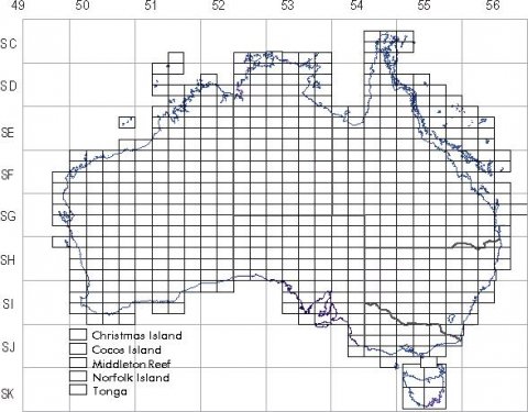
Hover your mouse over the map of Australia to find the grid reference and name for your place, eg SI5512 (Goulburn).
2. Search the Library’s catalogue
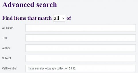
Enter the 1:250,000 sheet call number into the catalogue's Advanced Search as follows, using the "Call Number" field.
Caption
Example of the catalogue Advanced Search feature to search by call number.
Your results will show a list of photography covered by that grid reference. Find the group of photographs for your year and place of interest.
3. Request to view the photographs at the Library
Once you have identified a group of photographs in the catalogue, you can request to view the prints in the Special Collections Reading Room. To do this click "Request" from the catalogue record.
Please ensure you specify in the notes field exactly which photographs you would like to view, for example “Runs 3-5” or “photographs 129-136”.

